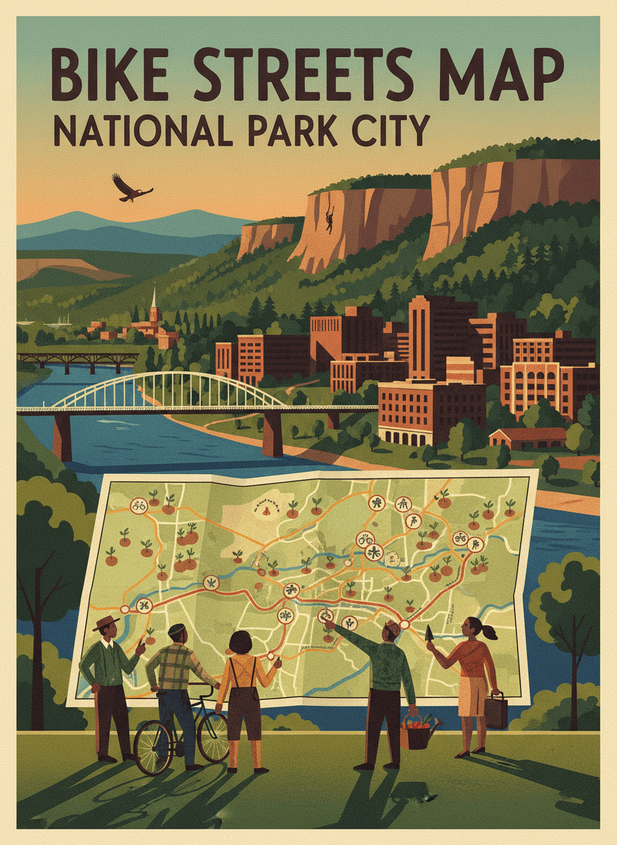
Discover community ideas growing across our region
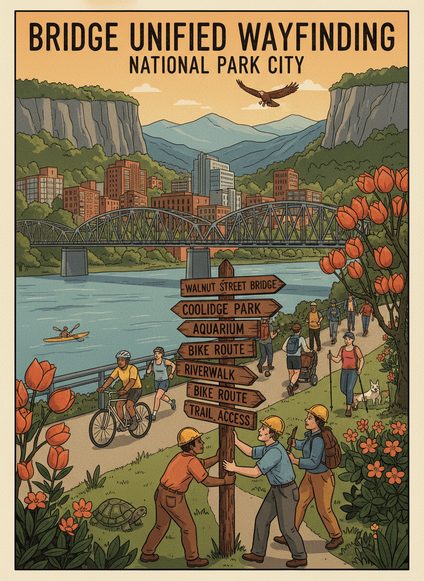
Install unified wayfinding signage at the junction of the Tennessee Riverwalk and the Walnut Street Bridge, one of Chattanooga's most important pedestrian crossroads. Current signage is inconsistent — different styles, different information, different eras — leaving visitors confused about which way to go. This junction sees thousands of daily users: tourists walking from the aquarium, Riverwalk joggers, Walnut Bridge strollers, cyclists heading to Coolidge Park. A single, coherent wayfinding system with clear directional signs, distance estimates, and landmark callouts would help everyone navigate confidently and discover more of what Chattanooga's trail network offers.
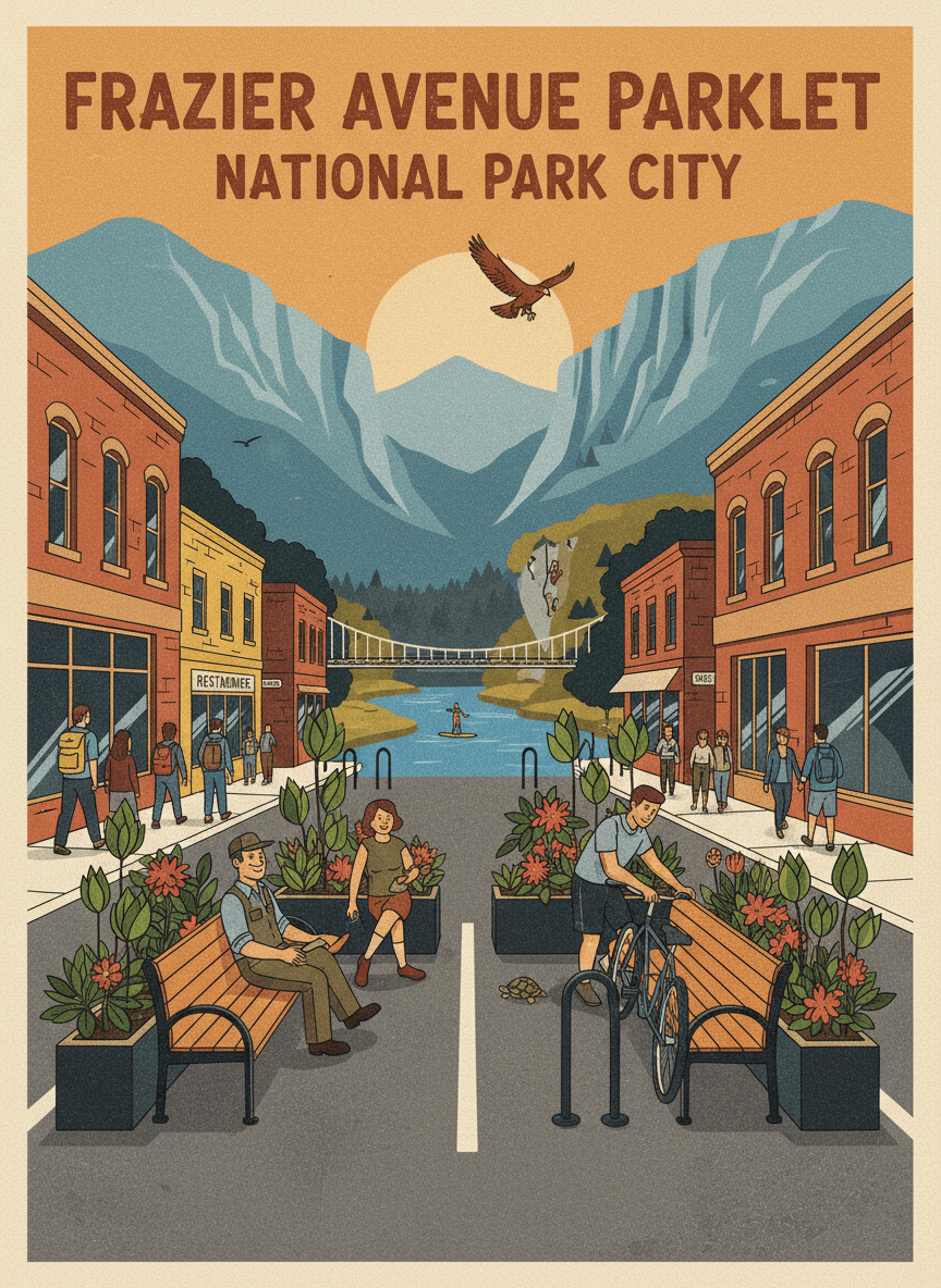
Convert two parking spaces on Frazier Avenue near Coolidge Park into a parklet — a small public seating area with planters, benches, and bike parking that extends the sidewalk into the street. The parklet would serve the busy North Shore commercial district where sidewalk space is limited. Frazier Avenue is the North Shore's main street, packed with restaurants, shops, and foot traffic from Coolidge Park visitors. Sidewalks are narrow and crowded, especially on weekends. A parklet would add needed public seating, create a neighborhood gathering spot, and demonstrate that people-space is more valuable than car-storage space on this vibrant corridor.
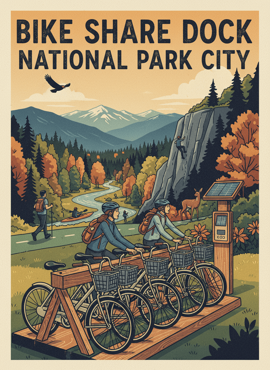
Install a bike share dock at the Camp Jordan Greenway entrance, connecting East Ridge to the regional bike share network and enabling one-way trips between the greenway and downtown Chattanooga. The dock would hold 10 bikes and include a solar-powered payment kiosk. Camp Jordan is a popular greenway destination but isolated from the bike share system, which currently stops well west of East Ridge. A dock here would let visitors ride the greenway and return downtown by bike share, or vice versa. It would also give East Ridge residents a new transit option for reaching destinations along the bike share network.
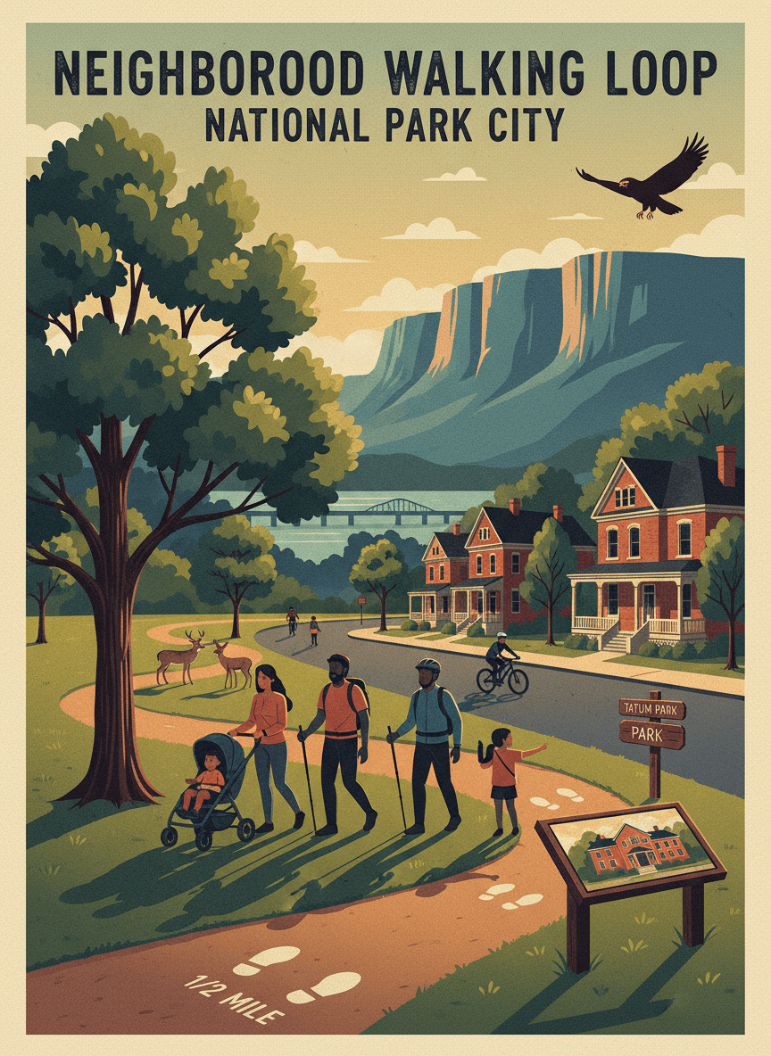
Create a marked neighborhood walking loop in Highland Park circling through Tatum Park, residential streets, and local landmarks, with painted distance markers and interpretive signs about the neighborhood's history. The loop would be approximately one mile, making it a convenient daily exercise route. Highland Park has beautiful residential streets, mature trees, and a strong community identity, but no designated walking route to showcase it. A marked loop would encourage daily walking, help new residents explore the neighborhood, and give Highland Park a signature feature that builds community pride. The interpretive signs would tell stories nominated by long-time residents.
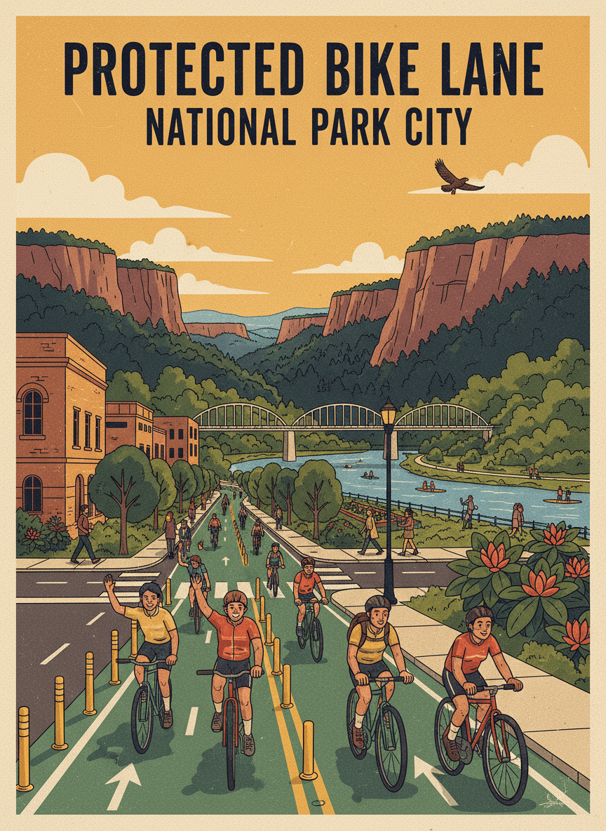
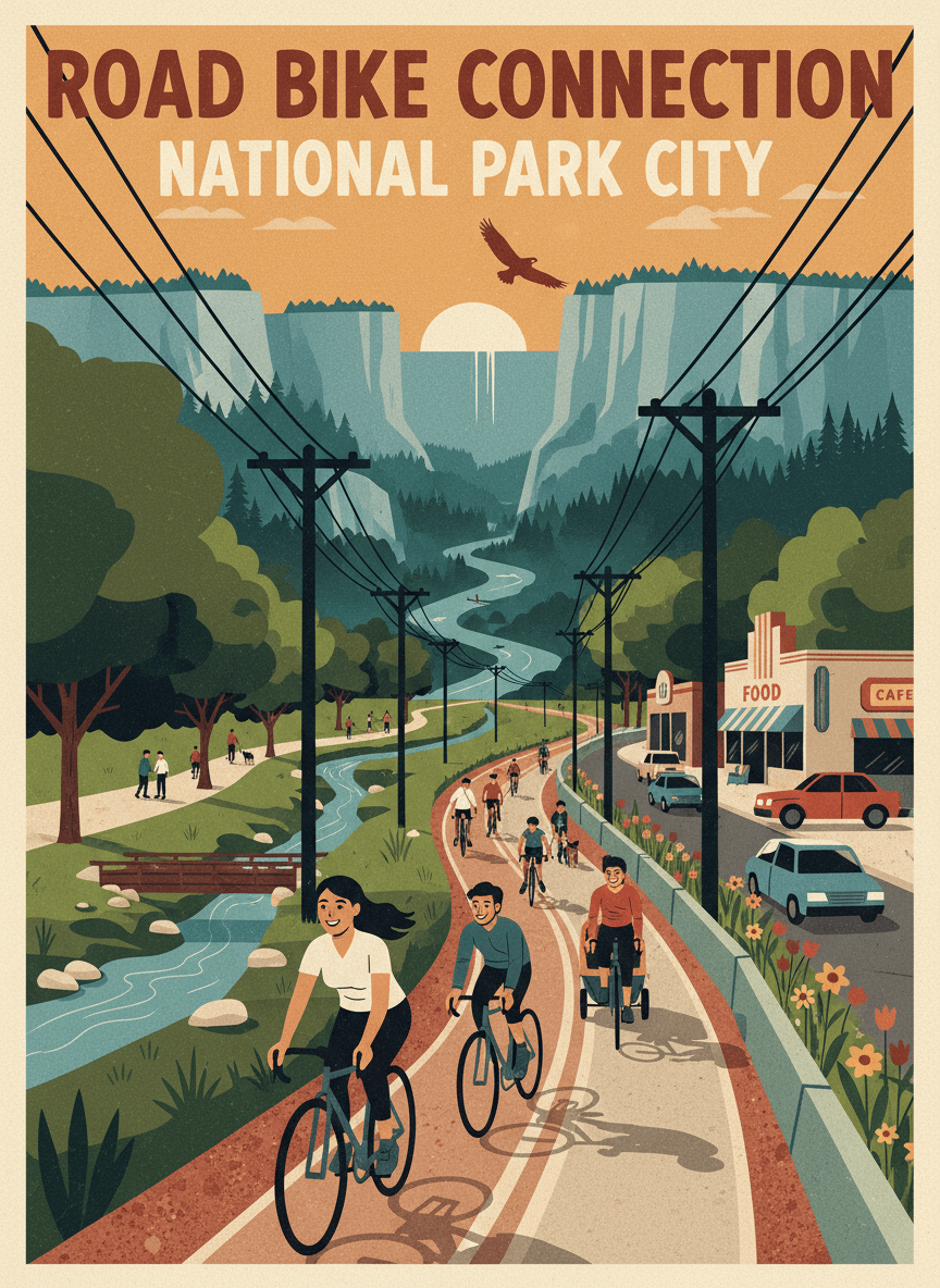
Install a protected bike lane on Vine Street from UTC's campus down to the Tennessee Riverwalk, creating a safe, direct cycling connection between the university and the riverfront. The lane would use flexible delineator posts and green-painted conflict zones at intersections. Vine Street is the most direct route from UTC to the Riverwalk, but current traffic conditions make it uncomfortable for all but the most confident cyclists. A protected lane would transform this corridor into a genuine bike commute route, connecting thousands of students to the trail network and encouraging car-free living for the campus community.
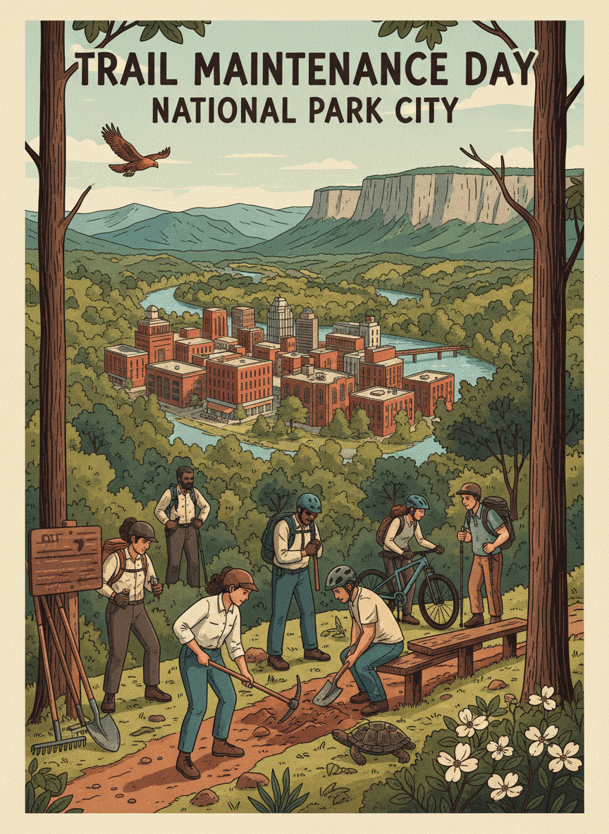
Organize a recurring volunteer trail maintenance day at Stringer's Ridge, bringing together neighbors, trail runners, mountain bikers, and hikers to maintain and improve the preserve's trail network. Each event would focus on a specific section, with tasks like erosion repair, drainage clearing, and bench maintenance. Stringer's Ridge trails are loved hard — heavy use means constant maintenance needs. A regular volunteer maintenance program would keep trails in good condition while building a stewardship community that feels personal ownership of the preserve. Events would include tool training, shared lunch, and a brief ecology talk.
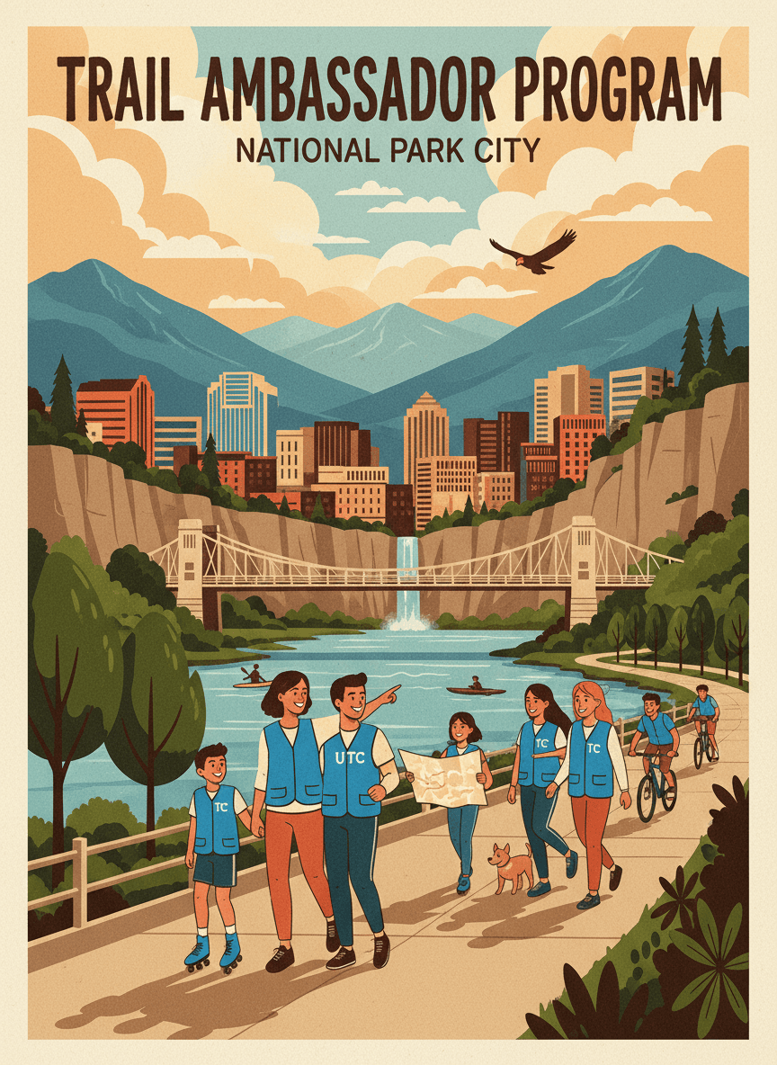
Launch a UTC student Trail Ambassador program on the Tennessee Riverwalk, training university students to serve as friendly, visible trail hosts during peak hours. Ambassadors would answer questions, share trail history, report maintenance issues, and create a welcoming atmosphere for all users. The Riverwalk is Chattanooga's front porch, but it can feel anonymous during busy times. Student ambassadors — wearing distinctive vests and carrying maps — would add a human presence that makes the trail feel safer and more welcoming. The program would give UTC students community service hours, outdoor experience, and connection to the city beyond campus.
Organize a "Ridge to River" community walking event from Stringer's Ridge to the Walnut Street Bridge, a roughly 2-mile route that showcases the dramatic topographic variety of Chattanooga's North Shore. The event would be held quarterly, with volunteer guides explaining the history, ecology, and community stories along the route. Chattanooga's landscape tells a story from ridgetop to riverbank — geological history, neighborhood development, conservation efforts — but you have to walk it to feel it. The Ridge to River event would create a shared community experience that builds appreciation for the North Shore's unique geography and connects neighbors who might otherwise never meet.
Create a printed and digital map linking Chattanooga's community gardens via low-traffic bike streets, helping gardeners, volunteers, and curious residents visit gardens by bike. The map would show garden locations, hours, what's growing, and the safest bike routes connecting them. Chattanooga has a growing network of community gardens but no resource connecting them to each other or to the cycling network. A bike-garden map would encourage cross-pollination between gardening and cycling communities, help new residents discover gardens near them, and promote car-free trips to gardens for drop-in volunteering and produce pickup.
Build a bike connection from the South Chickamauga Greenway to Brainerd Road, closing a gap that currently forces cyclists onto high-speed roads to reach one of East Chattanooga's main commercial corridors. The connection would use a combination of protected bike lane and multi-use path along an existing utility easement. Brainerd Road has grocery stores, restaurants, and services that greenway-adjacent neighborhoods need, but there's no safe cycling route to reach them. This connection would turn the greenway from a recreation loop into a transportation network, enabling car-free trips for errands and commuting.
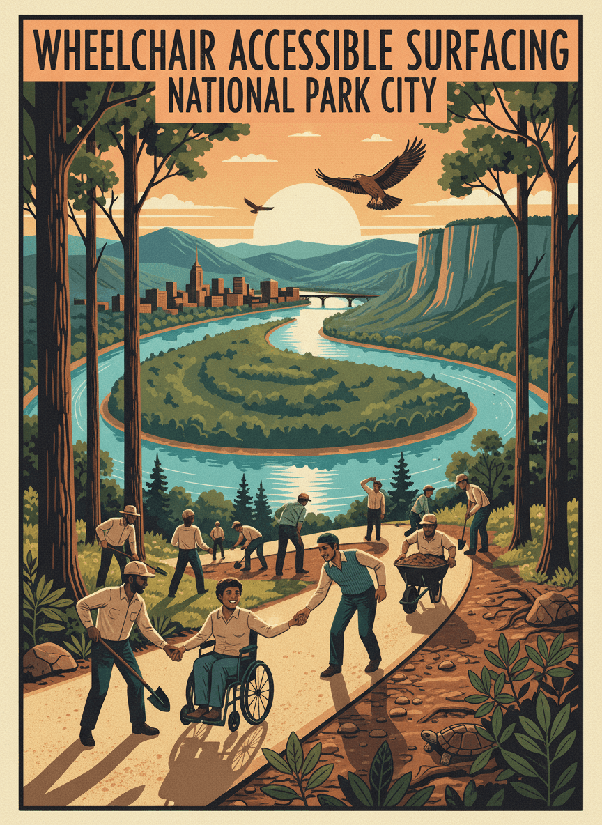
Upgrade a one-mile section of the Moccasin Bend Trail with wheelchair-accessible surfacing, ensuring that people with mobility challenges can experience this nationally significant landscape. The current trail surface is uneven packed earth with roots and rocks that prevent wheelchair and adaptive equipment use. Moccasin Bend's trails traverse one of the most important archaeological and natural sites in the Southeast, but accessibility barriers exclude many community members from experiencing it. An accessible surface — stabilized crushed stone or boardwalk over wet areas — would open this irreplaceable landscape to everyone while meeting ADA guidelines.
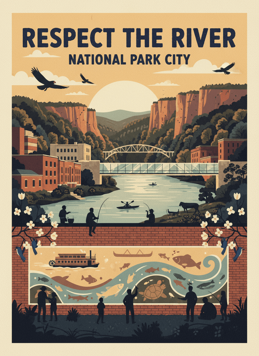
Commission a large-scale mural near Ross's Landing celebrating the Tennessee River's ecological and cultural importance, with a "Respect the River" theme. The mural would depict native aquatic life, river history, and the community's connection to the waterway, painted on a prominent wall visible from the Riverwalk. The Tennessee River is Chattanooga's defining natural feature, but it can feel like backdrop rather than protagonist. A striking mural at the city's primary riverfront gathering place would remind residents and visitors that the river is a living system deserving respect — not just a scenic amenity. The project would engage local artists and schools in the design process.
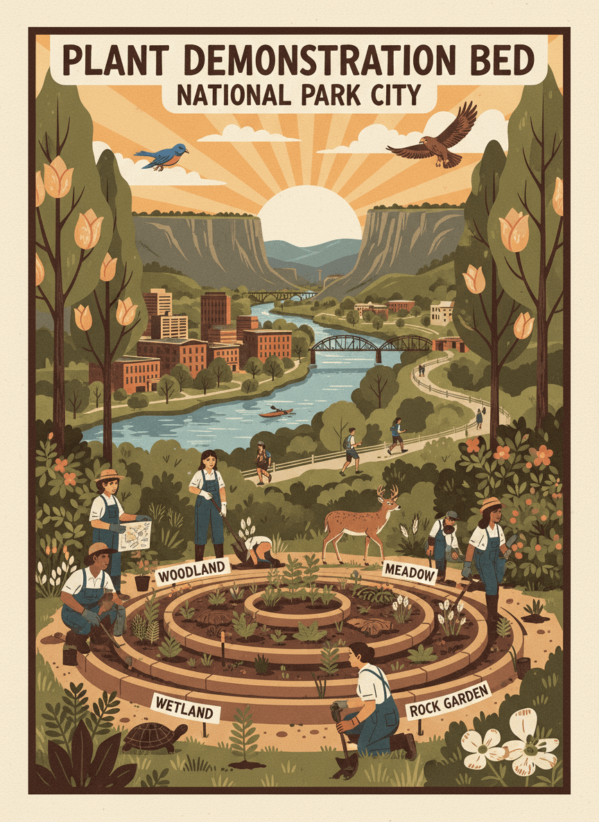
Create a native plant demonstration bed at Reflection Riding Arboretum & Nature Center showcasing Tennessee native plants organized by habitat type — woodland, meadow, wetland, and rock garden. The bed would serve as a model for homeowners wanting to landscape with native plants. Many Chattanooga residents want to plant natives but don't know where to start. A demonstration garden at Reflection Riding — already a destination for nature lovers — would show what native landscapes look like when thoughtfully designed. Each section would be labeled with species names, habitat requirements, and wildlife value, giving visitors a shopping list for their own yards.
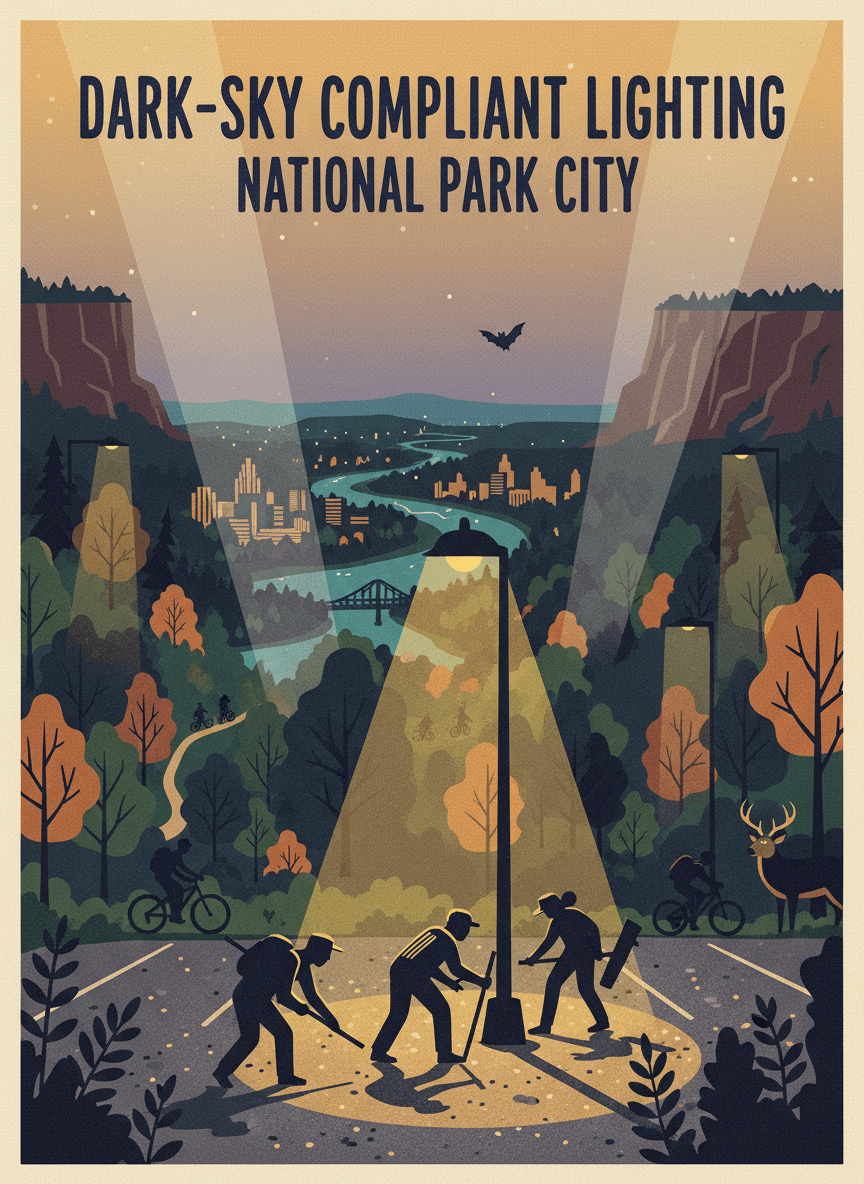
Replace existing parking lot lights at the Greenway Farms trailhead with dark-sky compliant fixtures that direct light downward, reducing light pollution that disrupts nocturnal wildlife along the North Chickamauga Greenway. The new fixtures would maintain safety while dramatically reducing sky glow. The Greenway Farms parking lot's current lights are unshielded, casting light horizontally and upward into the adjacent greenway corridor. This disrupts the feeding patterns of bats, confuses migratory birds, and wastes energy. Dark-sky compliant fixtures provide better ground-level illumination with 60% less energy use and near-zero upward light spill.
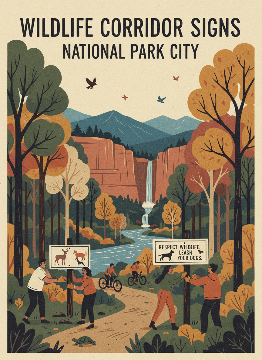
Install wildlife corridor awareness signs at trail crossings on the North Chickamauga Greenway where animal movement paths intersect the trail. The signs would educate users about the wildlife that shares the corridor — deer, foxes, box turtles, songbirds — and request respectful behavior like keeping dogs leashed. Greenways function as wildlife corridors connecting habitat patches across the urban landscape. Most trail users don't realize they're sharing the path with diverse wildlife, especially during dawn and dusk crossings. Educational signs at documented crossing points would build awareness and encourage behaviors that let people and wildlife coexist.
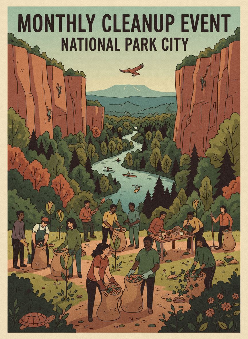
Establish a recurring monthly cleanup event at the Avondale entrance to the South Chickamauga Greenway, providing supplies, coordination, and community building around trail stewardship. Each event would include trash pickup along a one-mile section, invasive plant removal, and a community breakfast. The Avondale greenway entrance accumulates litter from nearby roads and illegal dumping. Regular cleanups would keep the trail welcoming while building a stewardship community. The monthly cadence creates a habit — neighbors begin to see the cleanup as a social event as much as a service project.
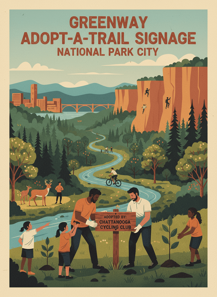
Install Adopt-a-Trail signage for designated sections of the North Chickamauga Greenway, recognizing community groups, businesses, and families who commit to regular trail maintenance. Each adopted section would have a sign identifying the caretaker and their commitment. Adopt-a-Trail programs build community ownership of public spaces. When people see a familiar name on a trail sign, they feel a personal connection to that section — and they're more likely to pick up litter, report damage, and volunteer. The North Chick Greenway has enthusiastic user groups but no formal stewardship structure.
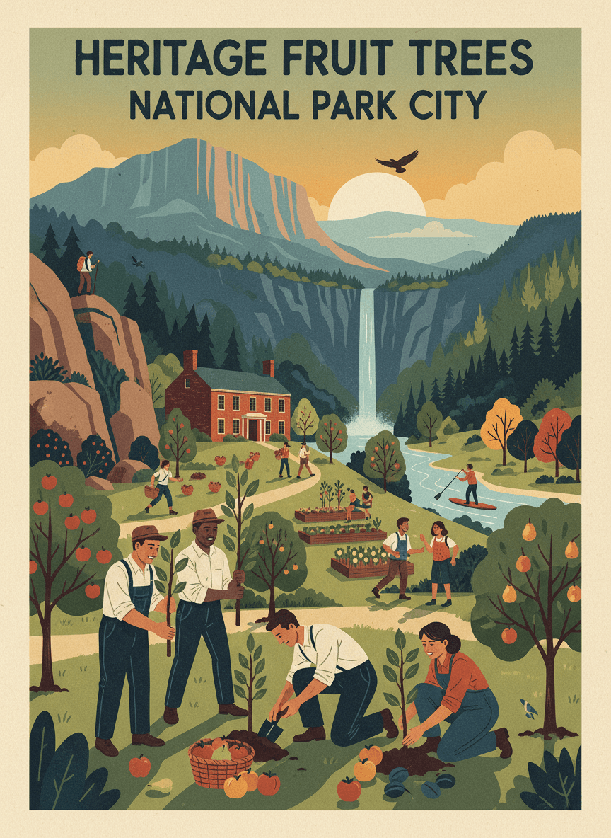
Plant a community orchard at Orchard Knob Park featuring heritage fruit tree varieties historically grown in the Tennessee Valley — apples, pears, plums, and persimmons. The orchard would honor the neighborhood's name, provide free fruit for residents, and preserve heirloom varieties. Orchard Knob's name recalls a time when fruit orchards dotted this landscape. Restoring a small orchard reconnects the neighborhood to its agricultural heritage while providing a practical community resource. Heritage varieties are chosen for flavor, disease resistance, and cultural significance. The orchard would be maintained by neighborhood volunteers with support from Crabtree Farms.
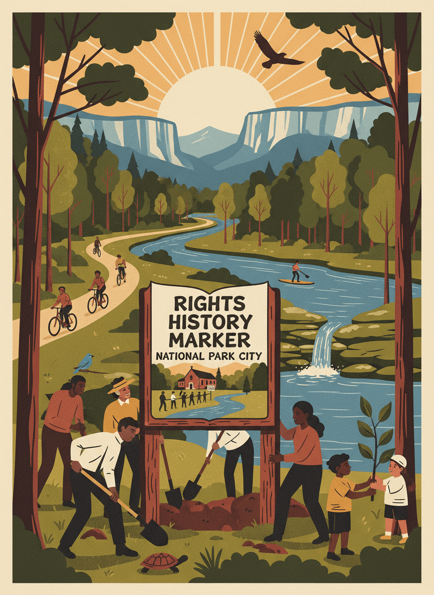
Install a Civil Rights history marker on the South Chickamauga Greenway near Orchard Knob, recognizing the neighborhood's role in Chattanooga's Civil Rights movement. The marker would tell the story of the activists, churches, and community organizations that fought for integration and justice in this part of the city. Orchard Knob and the surrounding neighborhoods were central to Chattanooga's Civil Rights struggle, but most greenway users pass through without knowing this history. A well-designed marker would connect the trail experience to the deeper story of the community it serves, honoring the people who fought for the rights we exercise when we freely walk these paths.
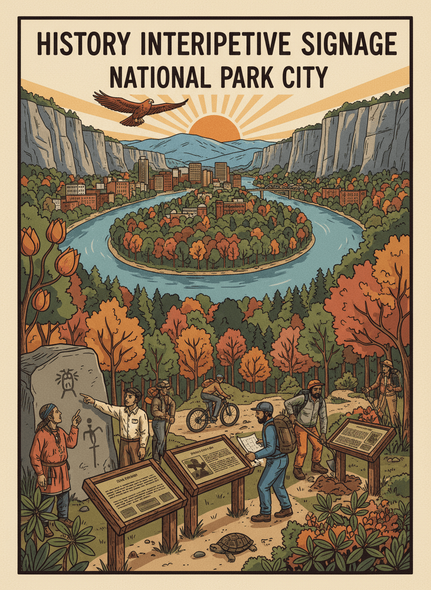
Install interpretive signage at Moccasin Bend acknowledging the site's deep Indigenous history, including its significance to Cherokee, Creek, and earlier peoples who lived along the Tennessee River for thousands of years. The signs would be developed in consultation with tribal representatives and historians. Moccasin Bend is one of the most archaeologically significant sites in the southeastern United States, with evidence of continuous human habitation spanning over 12,000 years. Despite its designation as a National Historic Landmark, most visitors encounter little information about this profound history. Respectful, accurate interpretive signage would honor the Indigenous peoples who shaped this landscape.